Milton is just the latest system in a storm season that scientists say is the weirdest they’ve ever seen.
Hurricane Milton strengthened as it moved through the Gulf of Mexico on Tuesday, heading toward Florida and threatening to hit one of the state’s major population areas with powerful storm surges, heavy rain, and damaging winds, just two weeks after the deadly Hurricane Helene inundated the coast.
Milton, which returned to Category 5 status on Tuesday afternoon, is threatening the Tampa Bay area, which is home to more than 3.3 million people and has managed to evade a direct hit from a major hurricane for more than 100 years. Milton is also menacing other stretches of Florida’s west coast that were battered when Helene came ashore on Sept. 26.
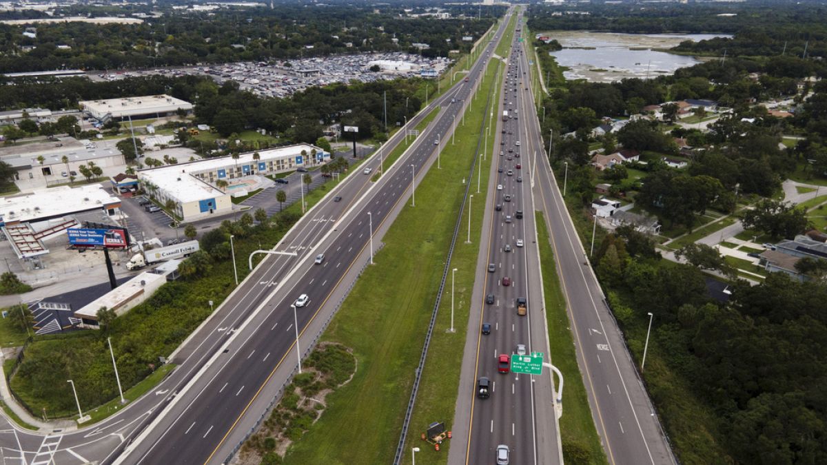
Traffic was thick Tuesday as people fled the Tampa area ahead of Milton. As they evacuated, crews along the coast hurried to clear Helene’s debris so that Milton doesn’t turn it into dangerous projectiles.
National Hurricane Center forecasters warned that Milton is “expected to be a dangerous major hurricane” when it reaches the Florida coast.
When will Milton make landfall and how strong will it be?
Milton is expected to make landfall on Florida’s central Gulf coast late Wednesday.
“We must be prepared for a major, major impact to the west coast of Florida,” Florida Gov. Ron DeSantis said Tuesday.
As of late Tuesday afternoon, the storm was about 480 miles (775 kilometers) southwest of Tampa with sustained winds of 165 mph (270 kph).
President Joe Biden, who postponed an overseas trip so he could remain at the White House to monitor Milton, warned that it “could be one of the worst storms in 100 years to hit Florida.”
With the storm expected to remain fairly strong as it crosses Florida, hurricane warnings were extended early Tuesday to parts of the state’s east coast.
What is climate change doing to hurricanes?
Milton is just the latest system in a storm season that scientists say is the weirdest they’ve ever seen.
With hurricanes disrupting the lives of millions in the U.S., some might wonder if it’s possible to control extreme weather events. But scientists say hurricanes are far too powerful for that, and climate change is providing more fuel than ever for storms like Helene and Milton.
Though we tend to pay most attention to a hurricane’s wind speed, characterised by the Saffir-Simpson scale that gives them their category, it may not always be the most damaging consequence of a hurricane.
A lot of different factors – like ocean heat, winds, pressure and moist air – determine the strength and characteristics of a hurricane. This can make measuring the precise impact of climate change difficult but there are some things we know for sure.
More heat means more fuel for storms
These massive storms are fuelled by heat from the ocean, converting it into kinetic energy in the form of wind. Higher ocean temperatures mean more fuel for the storm’s engines.
According to the most recent report from the Intergovernmental Panel on Climate Change, the proportion of hurricanes that fall into the most intense Categories 4 and 5 are likely to increase as the planet warms.

