
Close Menu
Daily Guardian EuropeDaily Guardian Europe
  • Home
  • Europe
  • World
  • Politics
  • Business
  • Lifestyle
  • Sports
  • Travel
  • Environment
  • Culture
  • Press Release
  • Trending
What's On

Russian prison intercepts cat used to smuggle drugs into penal colony

July 22, 2026

Zelenskyy fires top army commander amid nationwide protests – POLITICO

July 22, 2026

Zelenskyy replaces Oleksandr Syrskyi with Mykhailo Drapatyi as Ukraine’s commander-in-chief

July 22, 2026

Trump promises US support for Lebanon in White House meeting with president

July 21, 2026

Trumps Iran-Falle – wie kommt er aus dem Krieg? – POLITICO

July 21, 2026
Facebook X (Twitter) Instagram
Web Stories
Facebook X (Twitter) Instagram
Daily Guardian Europe
Newsletter
  • Home
  • Europe
  • World
  • Politics
  • Business
  • Lifestyle
  • Sports
  • Travel
  • Environment
  • Culture
  • Press Release
  • Trending
Daily Guardian EuropeDaily Guardian Europe
Home»Culture
Culture

Ancient Rome’s ‘Google Maps’ is here and working: Omnesviae

By staffJuly 2, 20263 Mins Read
Ancient Rome’s ‘Google Maps’ is here and working: Omnesviae
Share
Facebook Twitter LinkedIn Pinterest Email

Published on 02/07/2026 – 8:55 GMT+2•Updated
9:13

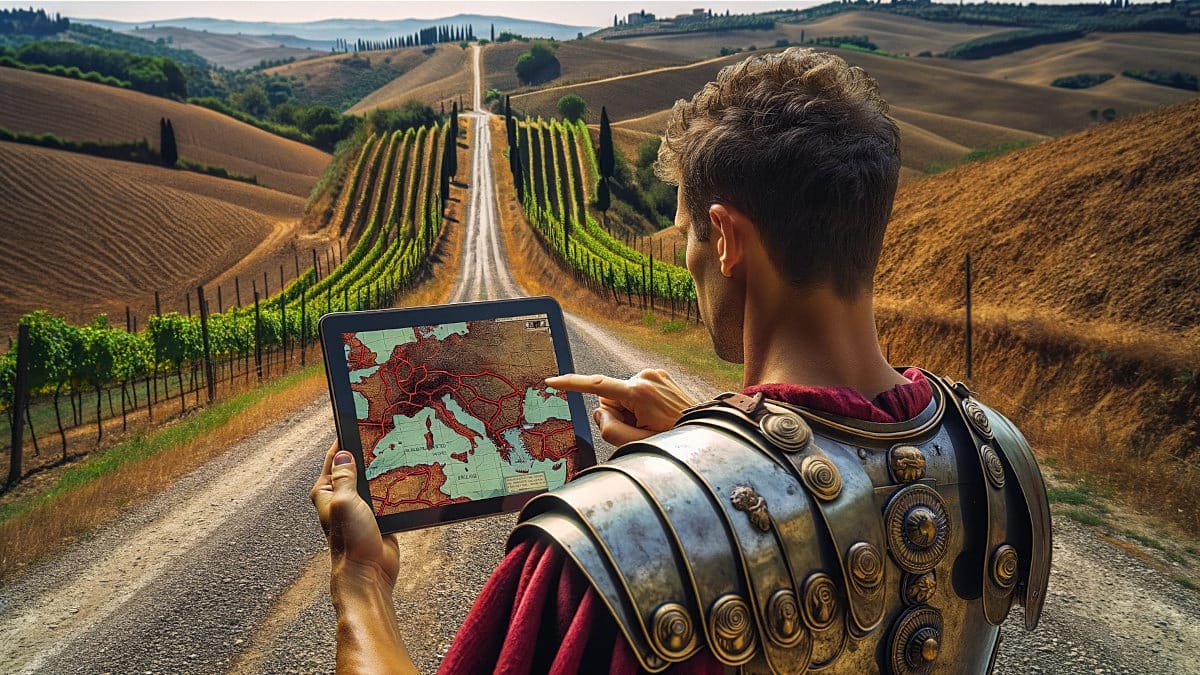
A Dutch engineer has reconstructed, using academic sources and historical maps, the road map that connected the Roman Empire. The result, accessible from any browser, including on a mobile phone, lets users plot routes between ancient cities and find out how many days the journey would have taken on foot or on horseback.

The tool is called OmnesViae (Omnesviae.org (source in Spanish)) and is based primarily on the Tabula Peutingeriana, a medieval copy of a Roman map that depicted the cursus publicus, the Empire’s official road network.

As the western part of that document has been lost, the data for that area comes from the Antonine Itinerary, another record from the Roman period. Behind the project is René Voorburg (source in Spanish), who drew on the work of historian Richard Talbert on the Tabula (source in Spanish) and on location data from the Pleiades Project. The code and database are open-access and can be consulted on Codeberg.

How it works and what it shows

The site is designed to be used on a computer, but it also works well in a phone browser. You simply enter a starting point and a destination for the system to calculate the quickest route according to the distances given in ancient sources, and highlight it in yellow on a modern map.

It also provides detailed information on intermediate stops, which is particularly useful because many Roman roads followed rivers or passed close to settlements that still exist today, albeit under different names.

When Madrid and Milan are entered as the destination, the website identifies them as Miaccum and Mediolanvm, and sets Conplutum, today’s Alcalá de Henares, as the first significant stop. Among the final stages are Avgvsta Tavrinorvm (Turin) and Placentia (Piacenza).

According to the planner’s calculations, the journey would have taken 43 days to cover 1,500 Roman miles. To put the difference with the present day into context: the same itinerary by road can now be done in 14 days (340 hours) on foot, 16 hours by car (source in Spanish).

A project that keeps growing

OmnesViae is not the only initiative seeking to reconstruct the communications map of the Roman world. In recent years, other projects with similar approaches have appeared, some focusing on calculating travel costs and times depending on the time of year, and others aimed at documenting the physical course of the roads more precisely using digital mapping techniques.

Voorburg keeps his tool up to date and has completely rewritten the original version, which was active between 2011 and 2024, now incorporating artificial intelligence support for the site’s translations and illustrations.

Share. Facebook Twitter Pinterest LinkedIn Tumblr Email

Keep Reading

Video. Historic Italian theatres vying for UNESCO’s World Heritage status

‘Kick Argentina out of the World Cup’ petition nearly breaks Guinness World Record

From ‘Following’ to ‘The Odyssey’: All Christopher Nolan movies ranked from weakest to strongest

‘The Odyssey’ makes history at global box office for Christopher Nolan

Aristides de Sousa Mendes: the man who braved ‘consequences’ to save thousands from Nazis

Shipwreck found in Lake Constance: what surprised the underwater archaeologists

Antikythera mechanism: Greek computer that predicted eclipses 2,000 years ago

Mount Olympus seeks place on UNESCO World Heritage List

Medieval shipwreck in Lake Constance surprises underwater archaeologists

Editors Picks

Zelenskyy fires top army commander amid nationwide protests – POLITICO

July 22, 2026

Zelenskyy replaces Oleksandr Syrskyi with Mykhailo Drapatyi as Ukraine’s commander-in-chief

July 22, 2026

Trump promises US support for Lebanon in White House meeting with president

July 21, 2026

Trumps Iran-Falle – wie kommt er aus dem Krieg? – POLITICO

July 21, 2026

Subscribe to News

Get the latest Europe and world news and updates directly to your inbox.

Latest News

Aliyev says former Russian and German officials were in Baku for possible meeting over Ukraine

July 21, 2026

Aliyev visits Berlin to deepen energy and trade ties with Germany

July 21, 2026

Jordan Bardella to address Nigel Farage’s Reform UK conference – POLITICO

July 21, 2026
Facebook X (Twitter) Pinterest TikTok Instagram
© 2026 Daily Guardian Europe. All Rights Reserved.
  • Privacy Policy
  • Terms
  • Advertise
  • Contact

Type above and press Enter to search. Press Esc to cancel.