
Close Menu
Daily Guardian EuropeDaily Guardian Europe
  • Home
  • Europe
  • World
  • Politics
  • Business
  • Lifestyle
  • Sports
  • Travel
  • Environment
  • Culture
  • Press Release
  • Trending
What's On

Frecciarossa starting tests for new Rome and Milan high-speed rail links to Munich

September 2, 2026

China threat bolsters support for EU industrial policy – POLITICO

September 2, 2026

Belgium pushes back against new attempt to use Russian assets to support Ukraine

September 2, 2026

Video. Latest news bulletin | September 2nd, 2026 – Evening

September 2, 2026

Frecciarossa in Germany: tests begin for Rome and Milan rail links to Munich

September 2, 2026
Facebook X (Twitter) Instagram
Web Stories
Facebook X (Twitter) Instagram
Daily Guardian Europe
Newsletter
  • Home
  • Europe
  • World
  • Politics
  • Business
  • Lifestyle
  • Sports
  • Travel
  • Environment
  • Culture
  • Press Release
  • Trending
Daily Guardian EuropeDaily Guardian Europe
Home»Culture
Culture

Ancient Rome’s version of Google Maps: how long to reach the beach

By staffJuly 4, 20263 Mins Read
Ancient Rome’s version of Google Maps: how long to reach the beach
Share
Facebook Twitter LinkedIn Pinterest Email

Published on 02/07/2026 – 8:55 GMT+2•Updated
04/07/2026 – 10:17 GMT+2

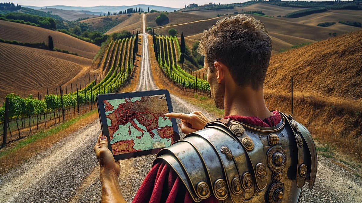
A Dutch engineer has reconstructed, with the help of academic sources and ancient cartography, the road map that linked up the Roman Empire. The result, accessible from any browser, including on mobile phones, allows users to plot routes between cities of Antiquity and find out how many days the journey would have taken on foot or on horseback.

The tool is called OmnesViae (Omnesviae.org (source in Spanish)) and is based mainly on the Tabula Peutingeriana, a medieval copy of a Roman map that depicted the cursus publicus, the Empire’s official road network.

As the western part of that document has been lost, the data for that area come from the Antonine Itinerary, another record from the Roman era. Behind the project is René Voorburg (source in Spanish), who drew on the work of historian Richard Talbert on the Tabula (source in Spanish) and on the location data from the Pleiades Project. The code and database are open access and can be consulted on Codeberg.

How it works and what it shows

The site is designed for use on a computer, but it also responds well in a phone browser. You just need to enter a starting point and a destination for the system to calculate the fastest route according to the distances recorded in ancient sources, and highlight it in yellow on a modern map.

It also provides detailed information on intermediate stops, which is particularly useful because many Roman roads followed river courses or passed close to settlements that still exist today, albeit under different names.

When Madrid and Milan are entered as the destination, the site identifies them as Miaccum and Mediolanvm, and marks Conplutum, today’s Alcalá de Henares, as the first major stop. Among the final stages are Avgvsta Tavrinorvm (Turin) and Placentia (Piacenza).

According to the planner’s calculation, the journey would have taken 43 days to cover 1,500 Roman miles. To put that into a contemporary context: the same route by road today can be completed in 14 days (340 hours) on foot, or 16 hours by car (source in Spanish).

A project that is still growing

OmnesViae is not the only initiative that seeks to reconstruct the communications map of the Roman world. In recent years, other projects with similar approaches have emerged, some focused on calculating travel costs and times depending on the time of year, and others aimed at documenting the physical layout of the roads more precisely using digital mapping techniques.

Voorburg keeps his tool updated and has completely rewritten the original version, which was active between 2011 and 2024, now incorporating artificial intelligence support for translations and the illustrations on the site.

Share. Facebook Twitter Pinterest LinkedIn Tumblr Email

Keep Reading

Matthew Perry three-part documentary coming to Netflix next month

Venice Film Festival: Clooney, conflicts and competition dominate as ceremonies begin

Hope, Dopamine and whatever ‘Perfecth’ means: Euronews Culture’s Fall music preview

Strictly successful: Greece’s Naima Gerassopoulou claims world tango champion title

Star Trek Day: London Science Museum aims for Vulcan salute Guinness World Record

GPHG 2026: Our favourite luxury timepieces vying for top watch industry awards

The road to Dunesday: Euronews Culture’s massive Fall movie preview

Video. Mud, flippers and snorkels: Wales celebrates 40 years of bog racing

Portugal: Kiala aims to bring Black authors from the margins to the heart of publishing

Editors Picks

China threat bolsters support for EU industrial policy – POLITICO

September 2, 2026

Belgium pushes back against new attempt to use Russian assets to support Ukraine

September 2, 2026

Video. Latest news bulletin | September 2nd, 2026 – Evening

September 2, 2026

Frecciarossa in Germany: tests begin for Rome and Milan rail links to Munich

September 2, 2026

Subscribe to News

Get the latest Europe and world news and updates directly to your inbox.

Latest News

Lecornu va-t-il passer l’hiver ? – POLITICO

September 2, 2026

EU countries showed ‘broad support’ for moving forward with visa ban for Russian combatants, Kallas says

September 2, 2026

How a quiz show and a dream took Azerbaijan’s Sabah to the Champions League

September 2, 2026
Facebook X (Twitter) Pinterest TikTok Instagram
© 2026 Daily Guardian Europe. All Rights Reserved.
  • Privacy Policy
  • Terms
  • Advertise
  • Contact

Type above and press Enter to search. Press Esc to cancel.